Temperatures to rise as Met Office says ‘super El Niño’ weather event is brewing
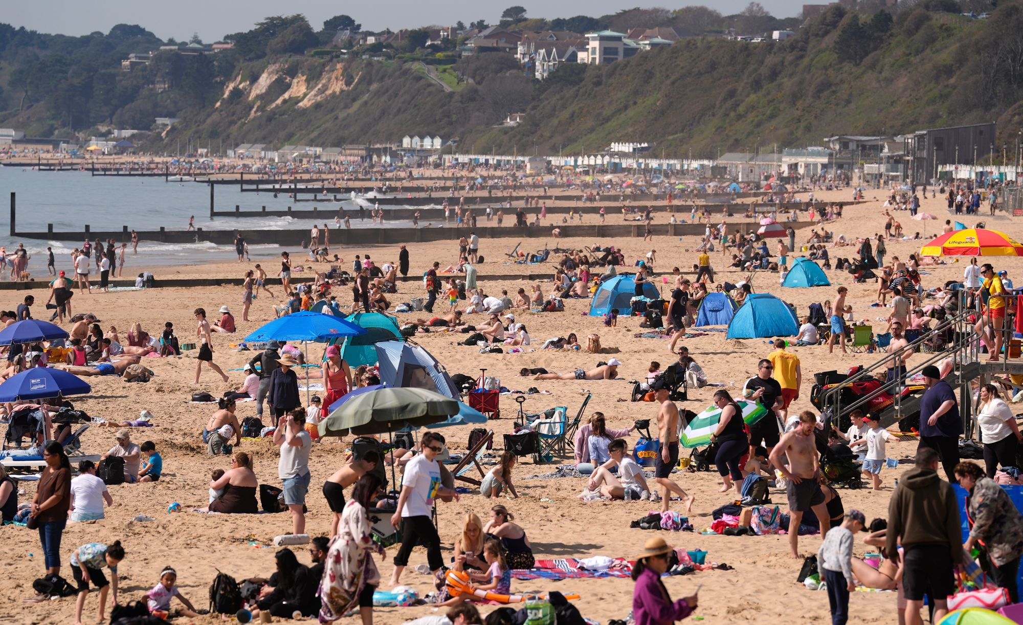
Temperatures are set to rise again this week after Britons basked in one of the warmest starts to April ever recorded.
Last Wednesday, 26.6C was recorded at Kew Gardens in southwest London, making it the hottest day of 2026 so far.
Following a cooler weekend, temperatures are expected to slowly rise and could reach 18C by Friday in London, and 16C in Manchester.
Springtime temperatures are forecast into the weekend, with highs of 17C on Saturday and 16C on Sunday.
It comes as forecasters suggest a brewing El Niño weather event could reach “super-strength”, further intensifying global warmth over the next year or so.
The term El Niño is used to describe the warming of the sea surface temperature that occurs every few years, usually in the central-east equatorial Pacific.
When sea temperatures in the tropical region rise above 0.5C, the long-term average, an El Niño event is declared. El Niño is felt strongly in the tropical eastern Pacific with warmer-than-average weather.

The effects were seen in the US in March with unseasonal heat. March’s average temperature of 10.47C was 5.19C above the 20th-century normal for the month.
But these changes in the Pacific can have consequences across the globe, increasing the risk of drought in several regions, including India, parts of the western Pacific, northeast Australia, and the Amazon, according to the Met Office. It also often leads to reduced activity in Atlantic tropical cyclones.
A large El Niño would also increase the likelihood of elevated global mean temperatures in 2027, and could contribute to another year temporarily exceeding 1.5 C above pre‑industrial levels on a global average basis.
“Our forecasts suggest it is likely to be a large event with sea‑surface temperature anomalies potentially exceeding 1.5 C in the central and eastern tropical Pacific,” the Met Office said.
Europe and the UK can also be impacted by this sea temperature change. It is likely to be less extreme than in the US, but El Niño has been linked to hotter summers and colder winters.
“It is important to stress that El Niño is just one of a number of climate drivers that can influence weather patterns in Europe and the UK. Any potential impacts will depend on how these drivers combine and this will be assessed in more detail later in the year as forecasts evolve,” the Met Office added.
The forecaster said it will continue to closely monitor the developing situation and assess the potential impact it will have on the UK.
UK weather forecast this week
Tuesday
A chilly but sunny start across northern and eastern areas. Cloud and outbreaks of rain across the southwest will slowly move northeastwards through the day. Sunshine becoming limited to northern Scotland and eastern England by late afternoon. Feeling warmer.
Tuesday night
Largely cloudy, with outbreaks of rain and drizzle, heaviest in the north and west. Turning windier and for most it will be a warmer night compared to of late.
Wednesday
Bands of rain and showers moving eastwards across the country. The rain and showers could be heavy at times. Feeling warm in the sunnier breaks that do develop. Staying breezy.
Outlook for Thursday to Saturday
Sunshine and showers on Thursday. Bright on Friday, but rain will move into western areas later. Rain followed by showers Saturday. Feeling warm, though breezy in the west at times.